

Autel
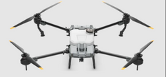
Autel Evo Max 4T XE Bundle
Autel Evo Max 4T XE Bundle
SKU:EV4MT
Couldn't load pickup availability
To maximize efficiency, we highly recommend getting a second battery that can be charging while the drone is in flight. Click here
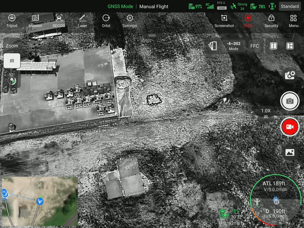
The EVO Max 4T XE features Autel Autonomy’s advanced autonomous flight technology, enabling smart flight path planning, 3D scene reconstruction, automatic obstacle avoidance, and reliable return-to-home in even the most challenging environments. Its high-precision visual navigation system ensures stable performance—even in areas with weak, blocked, or heavily interfered signals.
The drone introduces the industry's first A-Mesh networking system, allowing multiple devices to connect freely for seamless air-to-ground network coverage. With a cutting-edge sensor fusion system combining binocular fisheye vision and millimeter-wave radar, the EVO Max 4T XE delivers full 720° obstacle detection and avoidance, making it ready for all-weather missions.
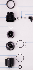
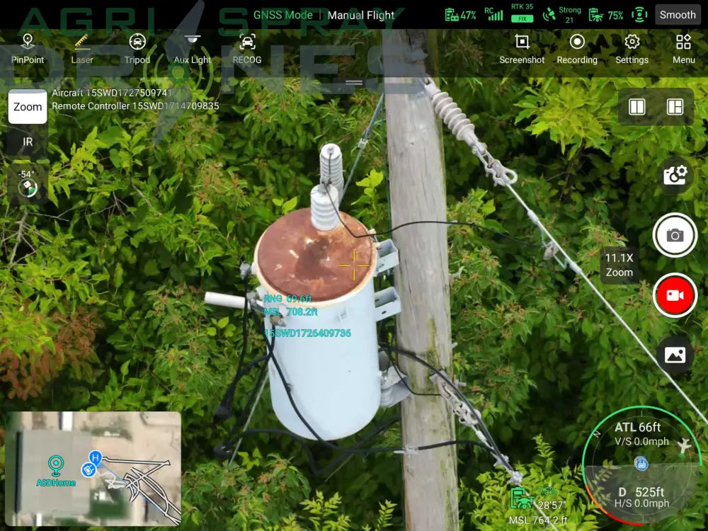
Equipped with the Fusion Light 4T XE camera, this drone packs serious imaging power: a 4K camera with 10x continuous optical zoom, an ultra-sensitive wide-angle lens, a thermal camera, and a laser rangefinder—all in one. It’s built to meet the demands of public safety, utility inspection, and emergency response, setting a new standard for commercial drones.
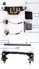
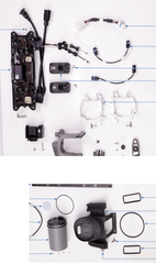
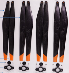
Comes with remote, charger, and 1 smart battery
| Weight (including battery, gimbal camera, and propellers) |
1635g |
| Dimensions | 562*651*147mm (unfolded with propellers) 318*400*147mm (unfolded without propellers) 257*145*131mm (folded without propeller) |
| Maximum endurance time | 42 mins |
| Maximum horizontal flight speed | 23m/s |
| Maximum wind resistance | 12m/s (27mph) |
| Operating frequency | 900MHz / 2.4GHz / 5.2GHz / 5.8GHz |
| IP protection level | IP43 (*Custom service) |
| Image transmission distance | 15 kilometers |
| GNSS | GPS / GLONASS / Galileo / BDS |


Autonomous Flight
Planning
Equipped with Autel Autonomy's autonomous
flight technology, collects environmental data in
real-time to achieve global path planning, 3D
scene reconstruction, autonomous obstacle
avoidance, and return-to-home in mountainous,
forested, and urban environments, empowering
security, inspection, and surveying industries.
High Precision Visual
Navigation
Even in urban environments where satellite
signals are obstructed or weak, it achieves
high precision and low latency in distance and
coordinate information. It utilizes SLAM visual
navigation technology for high-precision indoor
and outdoor navigation and stable flight.
A-Mesh Networking
Introducing the industry-first A-Mesh networking
technology, it enables free networking between
drones and between drones and ground
terminals, supporting various modes like "One
Remote, Multiple Aircraft" and "Lead-Member
Dual Control". Even across long distances,
obstacles, mountains, or in no-network areas, it
enables free networking within the network,
collaborative operation, and breaks through the
operational boundaries of conventional drones.